
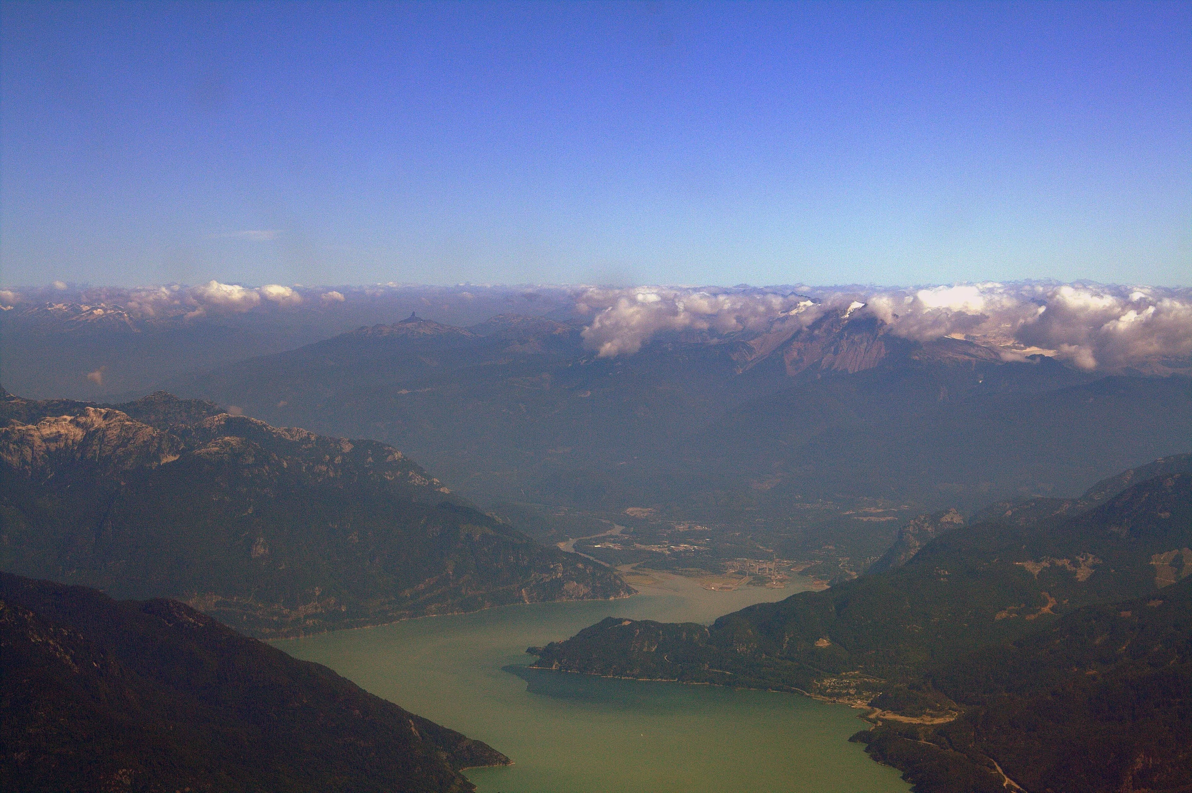
From Vancouver, the mountains to the north can look like a wall.
Enter Howe Sound by water and the wall begins to open.
The sound reaches roughly 43 kilometres north from the Strait of Georgia to the Squamish River estuary. Its southern reaches are broken by islands; farther north, the water narrows between steep coastal mountains. In its northern section, the channel contracts to around three kilometres across and continues as a fjord for approximately 15 kilometres before reaching the estuary. Peaks around the sound rise from roughly 1,200 metres in the south to around 2,700 metres farther north.
That combination — ocean, steep relief and narrow corridors — explains much of what happens here.
It explains why water feels less like the edge of the landscape than a route through it.
And why, from a boat, the mountains seem to arrive before the land does.

A landscape made by ice
The shape is not accidental.
At the end of the last glacial period, ice retreated through the valleys around what is now Squamish. Geological work in the Sea-to-Sky corridor places ice-free conditions in the Mamquam Valley at roughly 14,000 years ago, followed by a later glacial readvance. A submerged moraine at Porteau Cove records that event; by around 11,800 years ago, ice had retreated up the Squamish Valley as far as the Cheakamus confluence. Remnant ice persisted higher in the Coast Mountains.
The result is visible without knowing any geology.
Deep water pushes toward steep walls.
Valleys continue inland from the head of the sound.
Rivers occupy paths once enlarged by ice.
High above them, snow and glaciers still belong to the same geographical system.
A person can begin almost at sea level and, without travelling a great horizontal distance, move through forest, river valley, rock and alpine ice.
That compression is part of what makes this coast unusual.
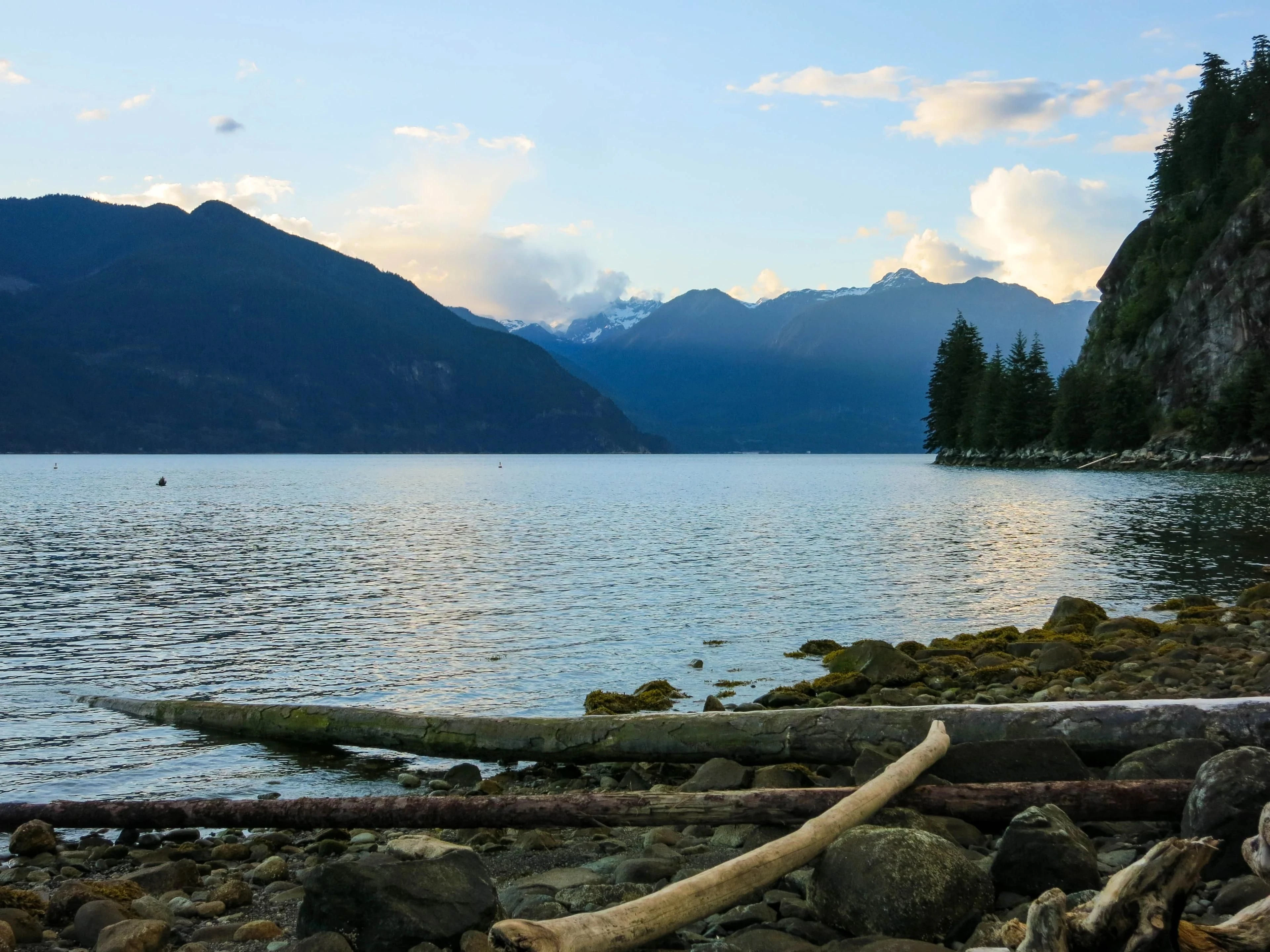

Water before road
Modern maps privilege highways.
The landscape does not.
The Squamish River flows south into the head of Howe Sound. Tributaries extend deeper into the mountains, while valleys and passes create natural corridors farther inland.
Before seeing a road map, look at the relief.
The road suddenly seems less like an invention and more like a negotiation.
It bends because rock is there.
It follows valleys because valleys allow passage.
It approaches water where mountains leave room.
Infrastructure has been added to the landscape, but much of its logic was already present.
The names beneath the map
There is another layer.
All of Howe Sound, the entire Squamish Valley and the surrounding drainages lie within the traditional territory described by the Sḵwx̱wú7mesh Úxwumixw. The Nation records numerous place names across this territory, alongside histories of villages, resource sites, camps and spiritual places.
One of the most visually dominant landmarks at the head of the sound is commonly called the Stawamus Chief. The BC Geographical Names record also identifies its Sḵwx̱wú7mesh name, Siám’ Smánit, and records the Nation's oral tradition associated with it.
The distinction matters.
A landscape can be geologically ancient, ecologically wild and still deeply known.
The closer one looks at this coast, the less it resembles empty scenery.
It becomes a set of overlapping systems:
ice,
water,
rock,
movement,
language,
memory.
The mountain does not begin where the ocean ends.
They are part of the same place.