
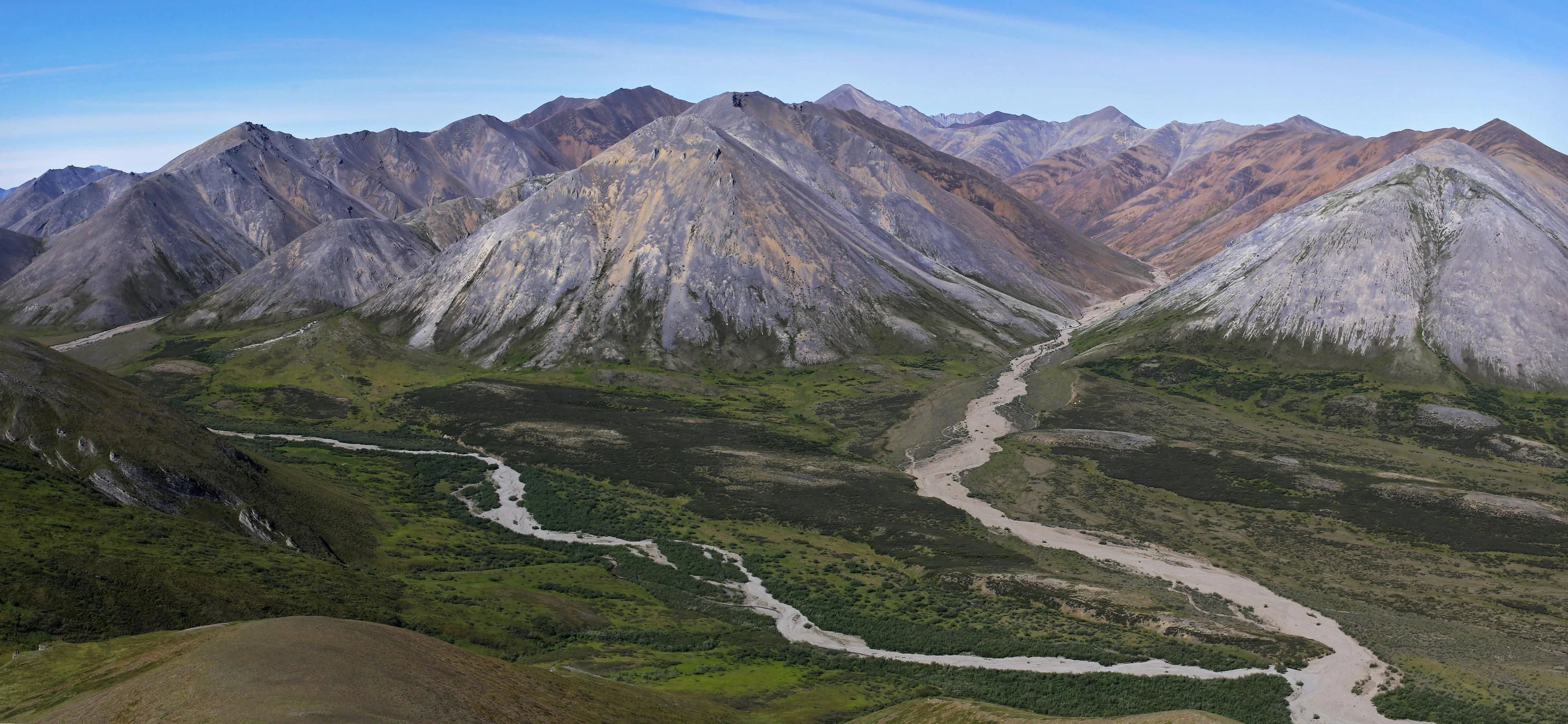
A watershed boundary can be one of the most important lines in a landscape and one of the hardest to see.
There is no fence.
Often there is no dramatic summit.
Sometimes the divide is only a few metres of higher ground.
Yet rain falling on opposite sides can begin journeys toward entirely different oceans.
In hydrology, a watershed is the land area draining toward a common outlet. The ridges and high ground separating neighbouring watersheds form drainage divides. Within each basin, smaller streams and watersheds nest inside larger ones.
On paper, it looks clean.
On foot, less so.

The Brooks Range
Northern Alaska makes the idea unusually legible.
The Brooks Range runs east–west across the state. Along its crest, the Arctic Divide separates streams flowing north across the North Slope toward the Arctic Ocean from water moving south and west into the Kobuk and Yukon systems.
Nothing about the water itself changes at the divide.
Gravity simply gives it a different future.
On the southern side, the North Fork of the Koyukuk begins near the Arctic Divide and flows for roughly 102 miles through broad glacial valleys before joining the Middle Fork.
Elsewhere in the same mountain system, the Alatna begins in lakes high on the divide and runs southeast toward the Koyukuk. In its upper reaches, low water can make the river so shallow that lining or portaging boats becomes necessary.
The watershed is therefore more than a diagram.
It determines not only where water goes, but eventually how people can move with it.
Headwaters do not look like rivers
People tend to imagine rivers at maturity.
A wide channel. Current. Banks. A clear direction.
Headwaters can look nothing like that.
Snowmelt.
A wet basin.
A small stream disappearing beneath rock.
Several tiny channels gathering in a valley.
The beginning of a river is often diffuse.
Then tributaries collect.
The direction becomes clearer.
The landscape begins concentrating water into a route.
Crossing
Approach a divide from downstream and something subtle happens.
The river becomes a creek.
The creek becomes smaller.
Eventually, the sound of water disappears.
At the high point there may be no obvious event at all.
Walk a little farther and water returns.
It is now travelling away from you in the opposite direction.
That is the crossing.
No sign.
No gate.
Just a reversal in gravity.
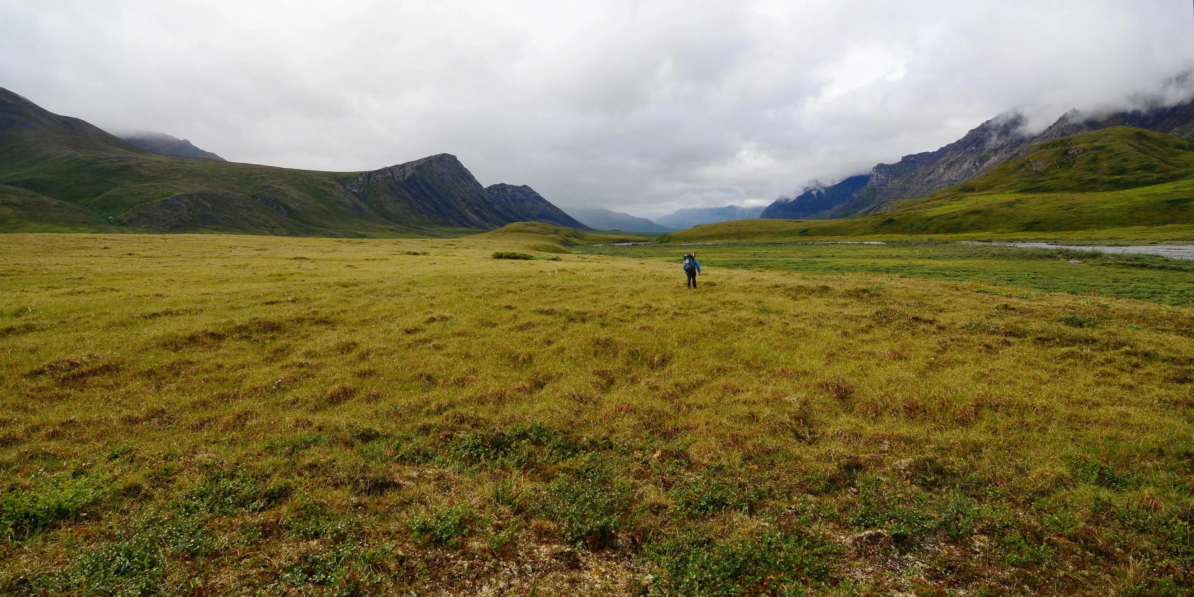

Why maps change after this
Once watersheds become visible, conventional road maps begin to feel strangely incomplete.
Roads explain how infrastructure connects places.
Drainages explain how the places themselves connect.
A ridge becomes a boundary.
A confluence becomes a junction.
A headwater becomes the beginning of an entire downstream system.
And a river can become something more useful than scenery.
It can become a way out.