
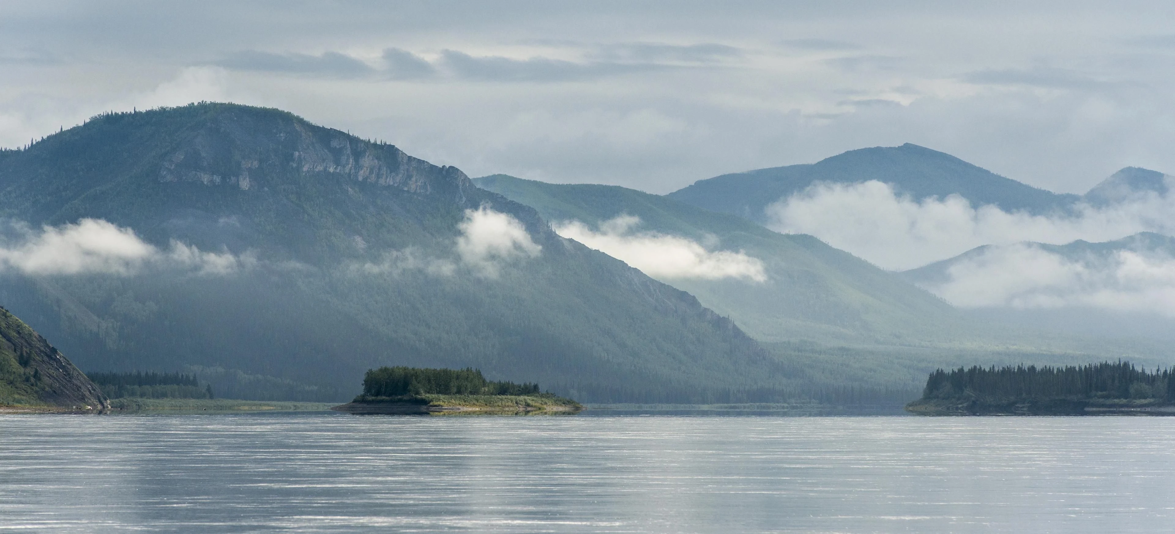
A highway creates the impression that movement belongs to infrastructure.
The Yukon tells an older story.
For thousands of years, Indigenous peoples travelled extensively through the Upper Yukon region and surrounding uplands for hunting, fishing, gathering and exchange. The river and its tributaries were not scenery beside the route.
They were part of the route.
Junctions
Near T’äw Tà’är, in what is now Yukon, trails and waterways converged.
Parks Canada records the area as a place where people moved toward seasonal fishing, hunting and gathering grounds. These routes connected First Nations communities across the upper Yukon and Teslin watersheds.
A modern road junction is drawn with lines and signs.
A river junction is visible in current.
One channel arrives.
Another joins.
The combined water continues.
Confluences are geography performing its own navigation.
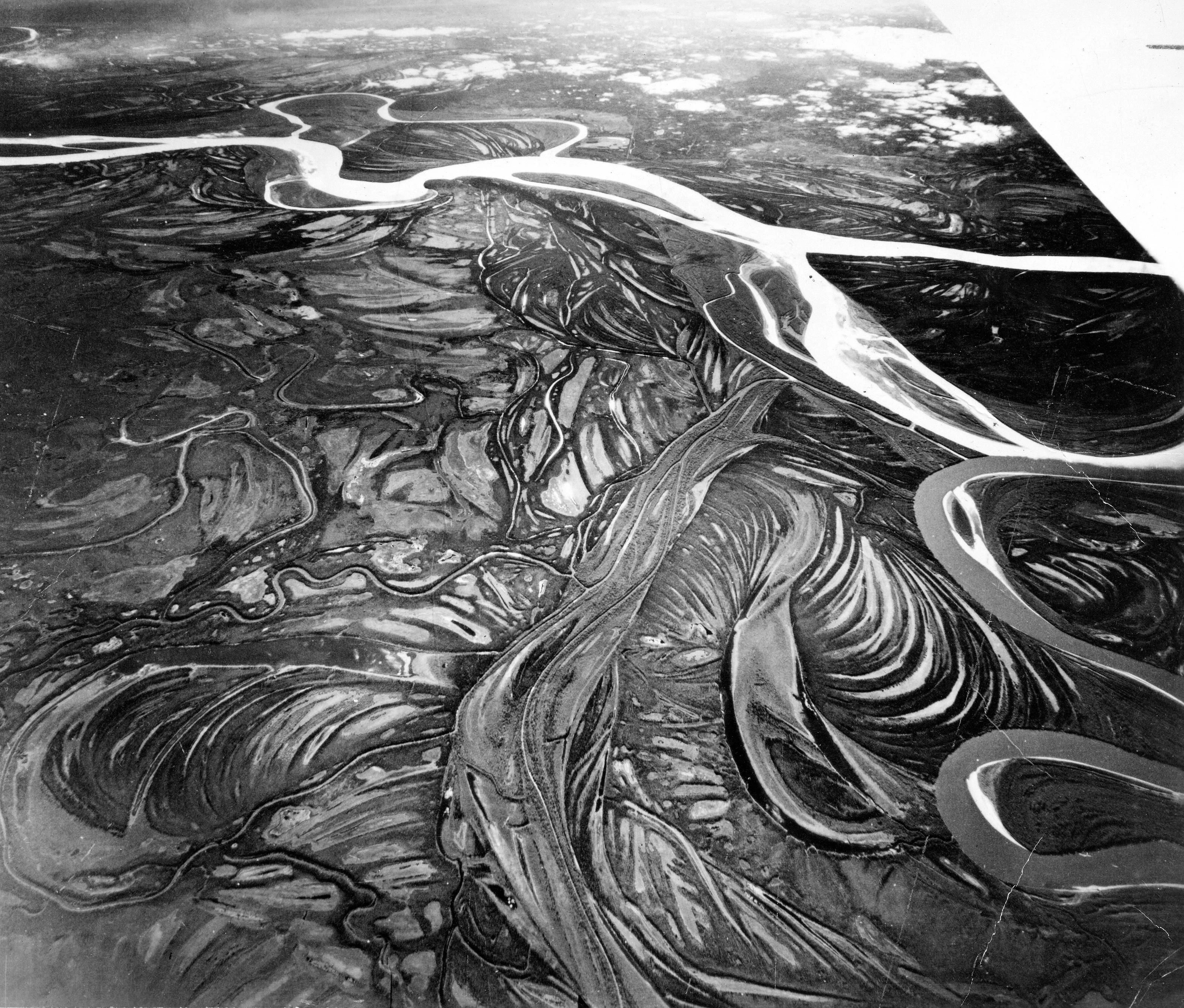


Then came the riverboat
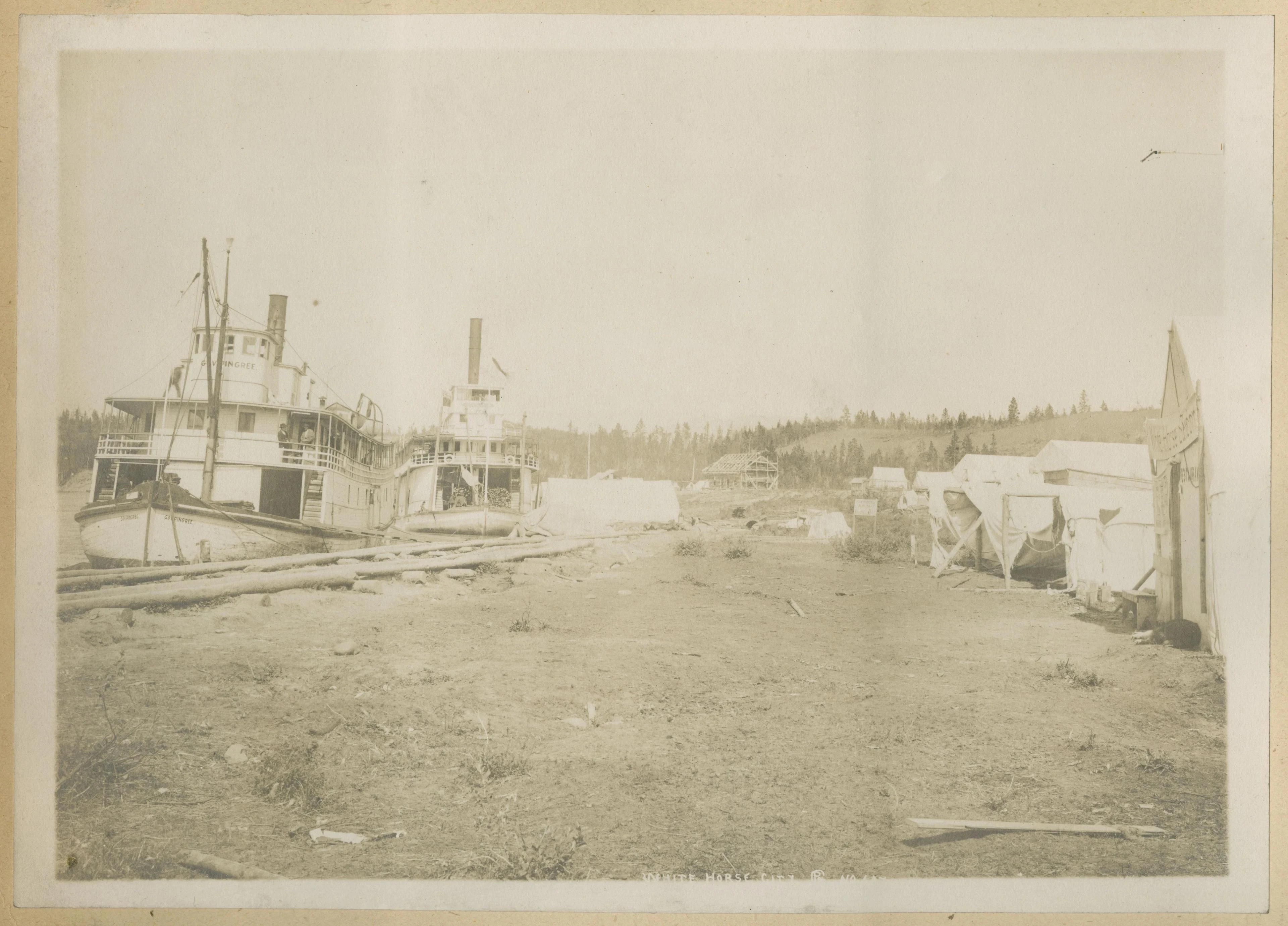
Industrial river transport layered a new system onto the old one.
Sternwheelers became central to movement along sections of the Yukon, moving freight and passengers between communities and resource centres.
But the standard heritage story of the riverboat often privileged the vessel over the people already living along the river.
When Parks Canada renewed interpretation around the S.S. Klondike, it worked with nine First Nations whose traditional territories lay along former riverboat routes, bringing forward Indigenous experiences of working and travelling on the vessels and the effects that riverboat traffic — and later the transition to highways — had on communities.
The road did not merely create another option.
It changed which places sat on the main line of movement.

Direction
A river is fundamentally asymmetric.
Upstream and downstream are not equal.
Effort changes.
Speed changes.
The shape of travel changes.
This is why travelling with a river produces a different spatial intelligence from following a road.
A road tells the traveller where to turn.
The river reveals where the landscape is already going.
Finding water
There is a moment in overland travel when a river exists only as a prediction.
The map says it is ahead.
The drainage suggests it should be lower.
Then sound arrives before sight.
Water through trees.
Movement.
Direction.
Once the river appears, the problem changes.
You are no longer searching for the line.
You are standing beside it.