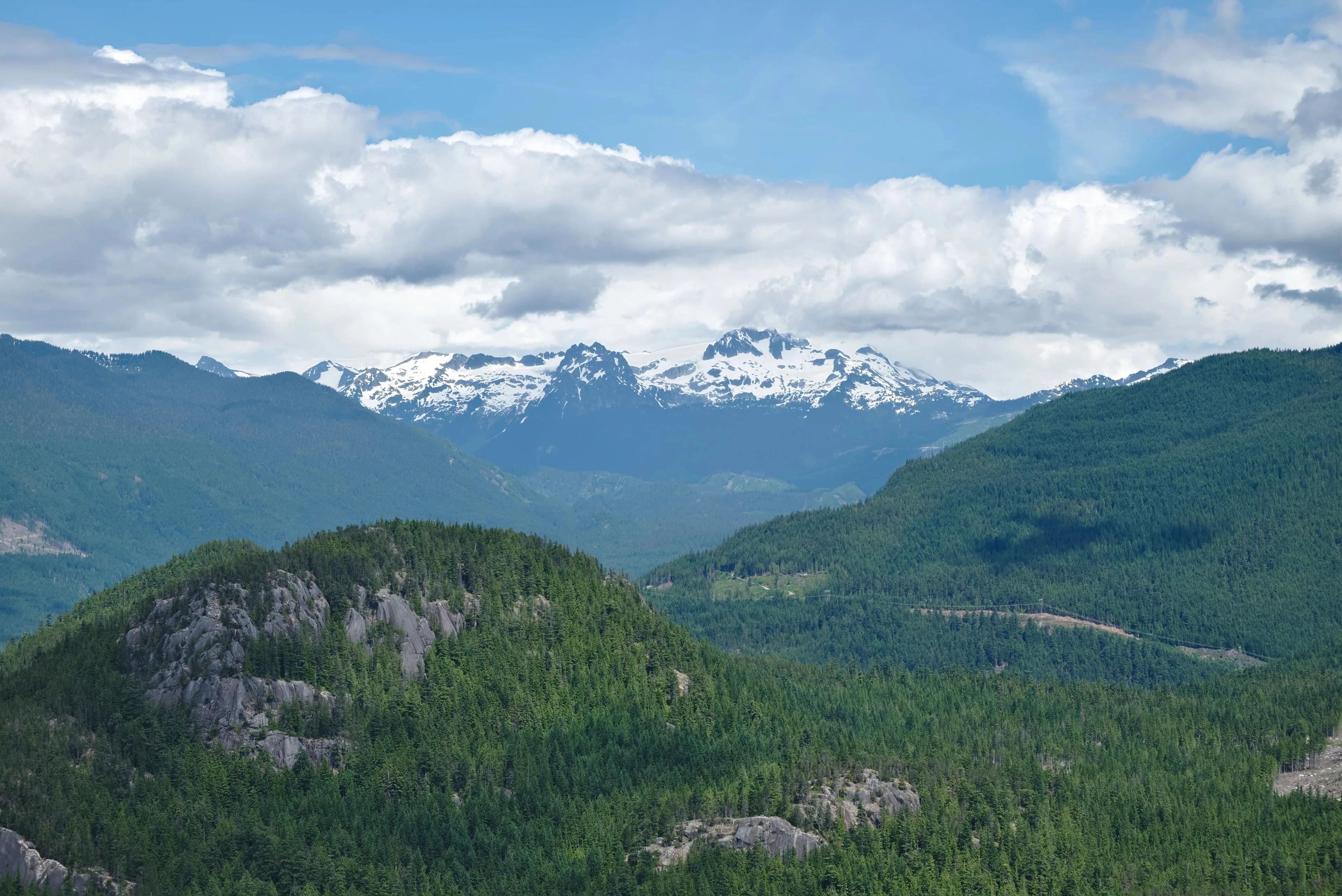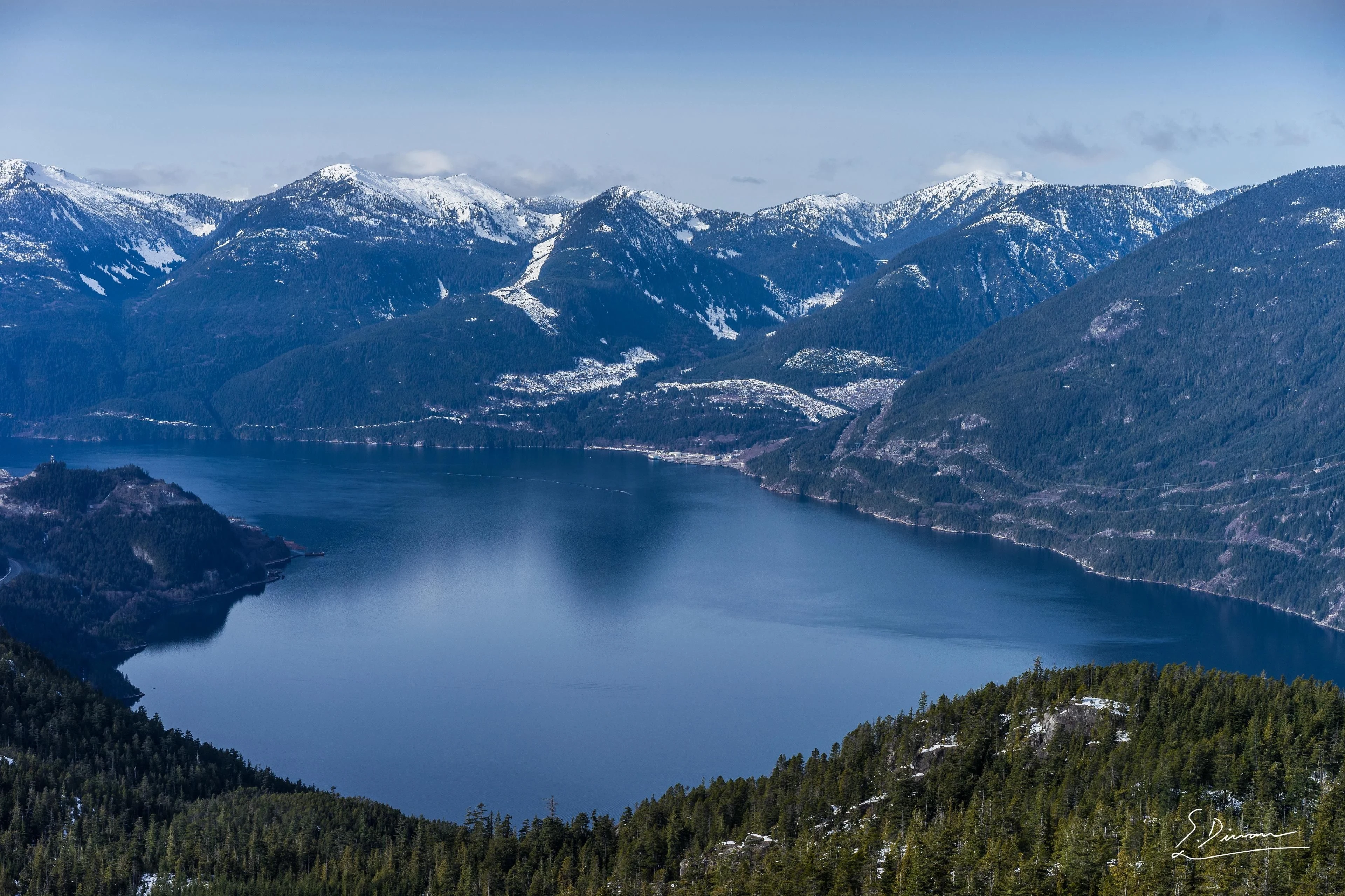
Look at a satellite image of the country north of Howe Sound.
Forest.
River.
Mountain.
Few buildings.
Large areas without roads.
It is easy to call it empty.
The word tells us almost nothing about the land.
It tells us what the map has chosen not to show.


6,732 square kilometres
Sḵwx̱wú7mesh Úxwumixw describes its traditional territory as approximately 6,732 square kilometres, extending through all of Howe Sound, the Squamish Valley and its drainages, north toward the Elaho headwaters and through areas now occupied by Vancouver, Whistler and other modern communities.
The Nation records numerous place names across that territory and identifies evidence of settlements, resource sites, hunting camps, cedar-bark gathering areas, quarries, processing camps, pictographs and cemeteries. Some village sites recorded by the Nation date back thousands of years; its broader history page cites archaeological evidence extending about 8,600 years.
“Empty” begins to look like a failure of resolution.
A name is information
Near the eastern shore of Howe Sound, the place now known as Furry Creek has another recorded name:
Énwilh Spálhxen.
BC Geographical Names records the meaning as approximately “middle ground” or “central flat land,” referring to terrain that was accessible by water and suitable for camping. The record also notes the area's importance for Sḵwx̱wú7mesh resource gathering.
That name contains geography.
A map label has become an observation about how a place works.
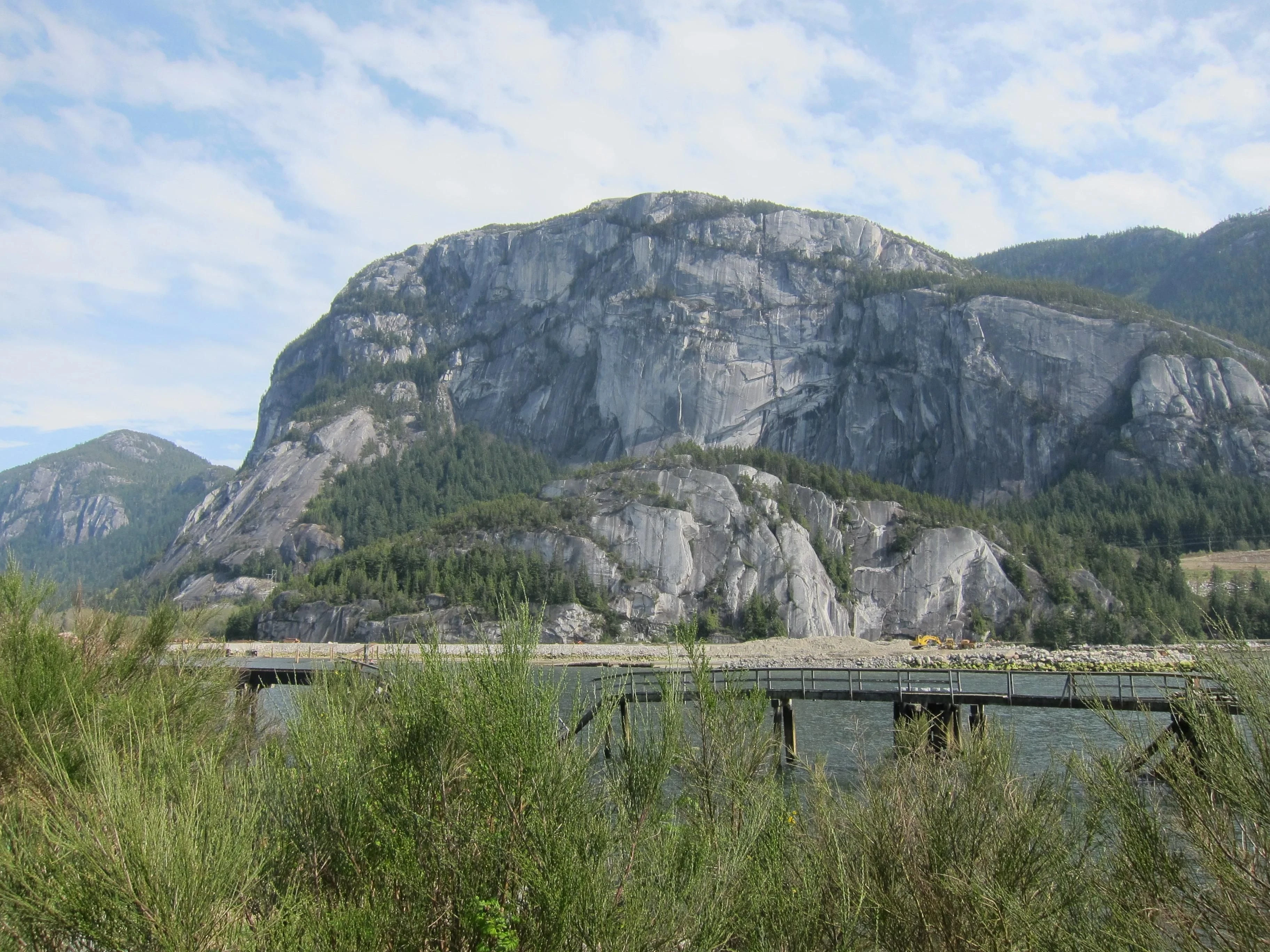
Elsewhere, the massive granite landmark commonly known as the Stawamus Chief carries the Sḵwx̱wú7mesh name Siám’ Smánit and an associated oral tradition recorded by BC Geographical Names.
Names are not decorative authenticity added to a landscape after the fact.
They are one way knowledge survives in it.
The problem with “untouched”
Travel language likes the word because it is efficient.
Untouched.
Undiscovered.
Empty.
Each produces an immediate fantasy: no history, no claims, no responsibilities — only landscape and observer.
The real world is less convenient.
A place can have no highway and still have routes.
No hotel and still have history.
No permanent building in the photograph and still have long-standing human relationships.
Ecological wildness and human knowledge are not opposites.
Maps are selective
A road map shows movement by car.
A cadastral map shows legal parcels.
A topographic map shows elevation.
A hydrological map shows drainage.
None shows everything.
The mistake is not using incomplete maps.
All maps are incomplete.
The mistake is confusing what has been omitted with what does not exist.
A blank area is not an empty place.