
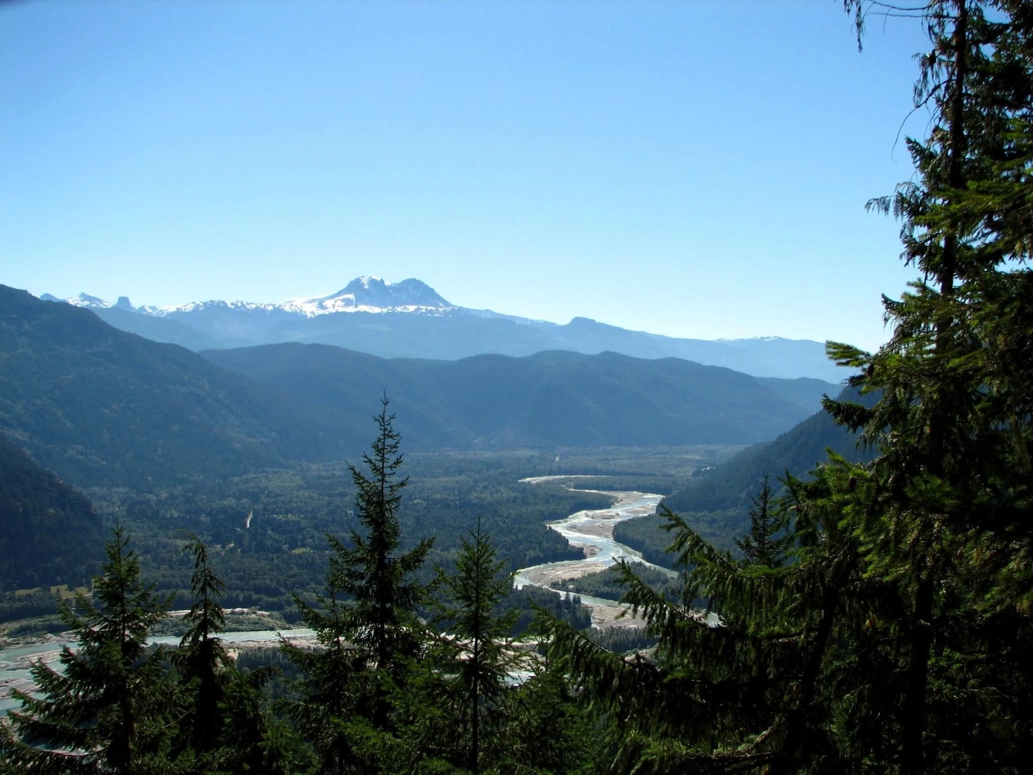
00 — THE PLACE

One place.

Three maps.

None of them is the place itself.

MAP 01 — HOW DO WE GET THERE?

A road map of the lower Squamish Valley with the main north–south road, branching forest service roads, mapped bridge symbols and three reference settlements.
Roads, mapped bridge locations and named forest service roads in the lower Squamish Valley. A road line describes mapped infrastructure, not permission or present conditions.Roads and places: © OpenStreetMap contributors (ODbL). Water: Province of British Columbia, Freshwater Atlas (OGL–BC). · Composite data sources: OGL–BC, ODbL 1.0

THE ROAD MAP

Highway

Forest roads

Bridges

Settlements

A road map turns landscape into access.

The question is binary:

Can we get through?

MAP 02 — WHAT SHAPE IS THE LAND?

The same lower Squamish Valley extent shown as muted shaded relief, with rivers, lakes and the same settlement reference points.
The same extent in shaded relief: valley floors, ridges and mountain slopes become visible. CDEM terrain is historical elevation data, not current snow, hazard or access information.Relief: Natural Resources Canada, CDEM (OGL–Canada). Water: Province of British Columbia, Freshwater Atlas (OGL–BC). Places: © OpenStreetMap contributors (ODbL). · Composite data sources: OGL–BC, ODbL 1.0, OGL–Canada

THE TOPOGRAPHIC MAP

Remove the roads and the logic changes.

The valley is no longer a corridor drawn by engineers.

It is space constrained by relief.

MAP 03 — WHERE DOES THE WATER GO?

The same lower Squamish Valley extent showing the Squamish River and mapped tributaries, lakes and dashed assessment watershed unit boundaries.
The same extent as a surface-drainage map. The Squamish River is emphasized; dashed boundaries are Freshwater Atlas assessment watershed units, not a single complete basin boundary. Some units contain through-flowing rivers.Water and assessment units: Province of British Columbia, Freshwater Atlas (OGL–BC). Places: © OpenStreetMap contributors (ODbL). · Composite data sources: OGL–BC, ODbL 1.0

THE WATERSHED MAP

The ridge has become a boundary.

The creek has become a tributary.

The valley has become a drainage.

Road

Topography

Water

The landscape never changed.

Only the question did.

END.