
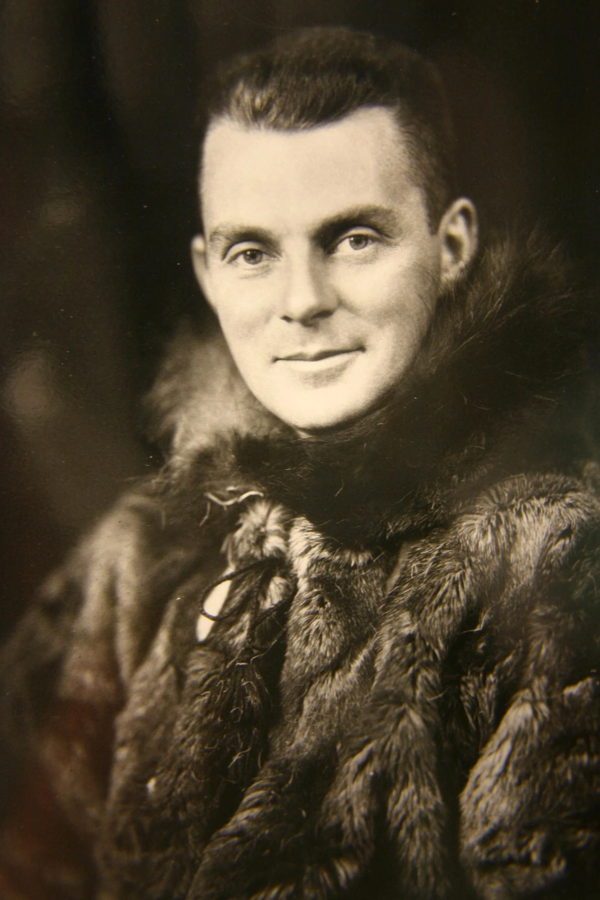
In the late 1920s, C. H. “Punch” Dickins was asked to fly across parts of northern Canada for which the available map was, in places, effectively an admission of ignorance.
Across large areas it simply said:
UNEXPLORED.
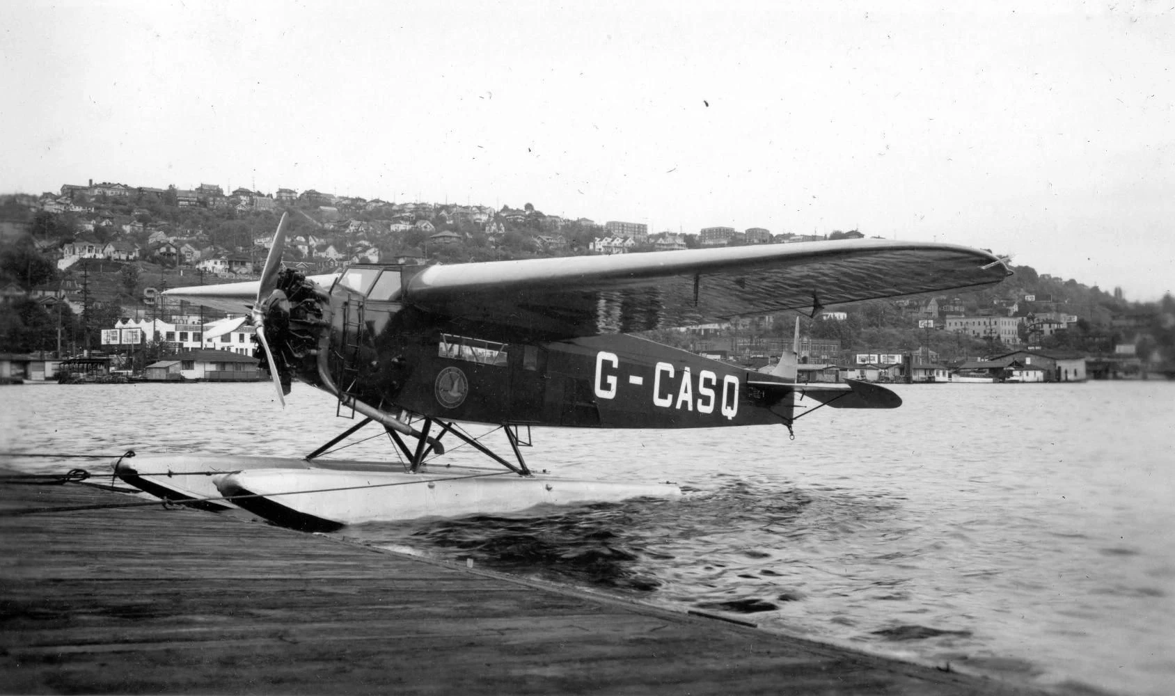
The aircraft was a Fokker Super Universal on floats.
The route stretched from Winnipeg toward Hudson Bay, Baker Lake and back through the interior — roughly 6,000 kilometres over twelve days.
Today it is tempting to interpret that story as one of bravery.
It was also a story about information.

Navigation without infrastructure
Beyond Fort Churchill, Dickins had no radio communication.
Large lakes and rivers were supposed to provide reference points, but from the cockpit the ground became an almost repetitive field of water, bare rock and tundra. Near the magnetic north, his compass could become unreliable.
He used the sun.
Fuel had to exist ahead of the aircraft.
There was no digital map quietly correcting each uncertainty.
The map was not simply a tool used to complete the flight.
The flight helped improve the map.
Aircraft as field instrument
Dickins had already flown in the First World War and later became one of the original officers of the RCAF. In northern Canada he entered a different aviation problem: commercial flying where conventional airports, weather information and communications infrastructure could be sparse or absent.
Aircraft began collapsing distances previously measured by river, dog team or long overland travel.
Mail moved differently.
Prospectors moved differently.
Maps changed.
So did the economic geography of the North.
Dickins later contributed to the development of the de Havilland Beaver — an aircraft whose short take-off and landing capabilities became closely associated with northern and bush operations.
What “remote” meant then
It is difficult now to reconstruct the information poverty of early northern aviation.
Satellite imagery has made almost every drainage visible.
GPS supplies position continuously.
Weather observations can travel faster than the aircraft.
A satellite communicator can place a person in contact from a valley with no cellular service.
Those tools reduce uncertainty.
They do not remove the underlying problem.
The pilot still has to interpret a landscape that does not care how much information is available about it.
Technology changes.
Judgment survives.
Dickins was later designated a National Historic Person in Canada; Parks Canada describes his bush-flying career as synonymous with the development of commercial aviation in the Canadian North.
Nearly a century later, perhaps the most interesting part of his story is not that he reached places marked “unexplored.”
It is that aviation was entering a landscape faster than the maps could explain it.